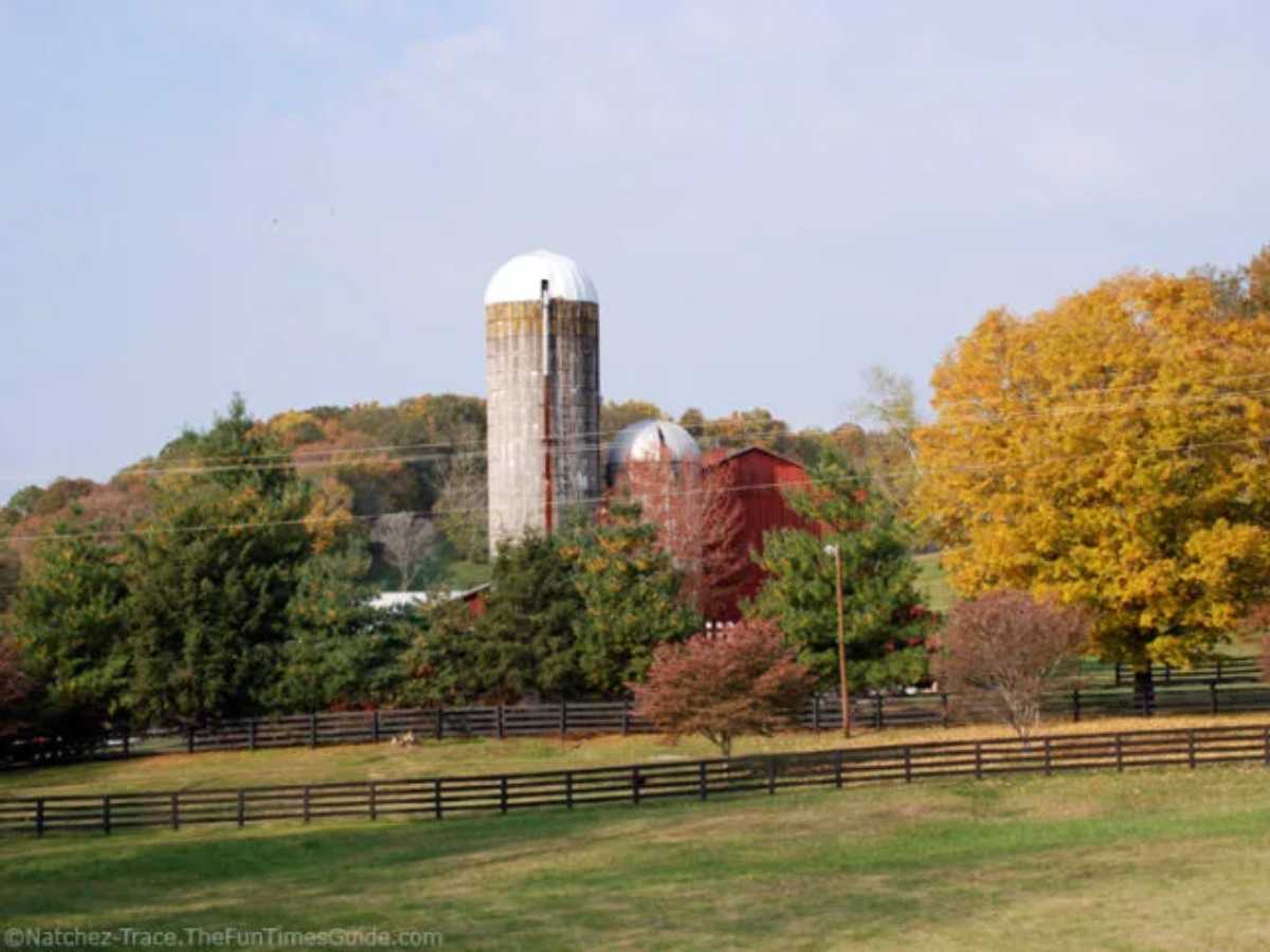
I would encourage you to print out this ‘cheat sheet’ and keep it when you when you visit the Natchez Trace Parkway…
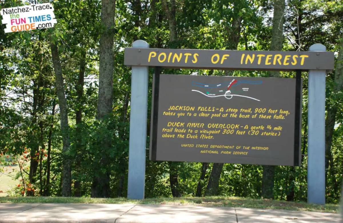
I saw this at one of the first stops along the northern part of the Trace.
It was inside the information board located at the Birdsong Hollow rest area.
Supplies / Food Adjacent to The Natchez Trace Parkway
NOTE: No Claims are made as to the completeness of this listing or the quality of the services provided
| Exit for: | Milepost | Directions / Comments |
|---|---|---|
| Natchez | 0 | South terminus at Liberty Road |
| Washington | 8 | US Hwy 61, toward Natchez |
| Lorman | 30.4 | 2 miles east & south on MS 552 & US Hwy 61 |
| Port Gibson | 37.7 | 1 mile or less on US Hwy 61 into Port Gibson |
| Raymond | 79 | 3 miles east on MS 467 into Raymond |
| Clinton | 87 | Interstate 20 towards Jackson (east) |
| Pinehaven Road | 89 | Visible from the exit |
| Highway 49 | 93.2 | Visible from the exit or 1-1/2 miles north of Cynthia Road |
| Ridgeland | 102.4 | 1 mile or less south on US Hwy 51 towards Jackson |
| Canton | 114.8 | 1/4 mile north on Hwy 43 towards Canton or 2 miles south on Hwy 43 towards Morton |
| Thomastown | 146.2 | 1/2 mile north on MS 429 into Thomastown |
| Kosciusko | 160 | Adjacent to Parkway at Information Center exit, multiple locations and in the downtown area |
| French Camp | 180.8 | 1/4 mile or less on MS 413 in either direction |
| Jeff Busby | 193.1 | On Parkway; gas, limited groceries |
| Ackerman | 195.5 | Visible from Parkway on MS 9 |
| Mathiston | 204.3 | 1 mile or less on US Hwy 82, Mathiston |
| Mantee | 219.6 | 1 mile or less west on MS 46 towards Mantee |
| Houston | 229.3 | 3 miles on MS Hwy 8 into Houston |
| Pontocola Crossing | 251.6 | Visible from the Parkway exit |
| Pontocola Crossing | 255.7 | 3/4 mile on blacktop road towards Verona |
| Tupelo | 260.1 | 1/2 mile on MS Hwy 6, east or west |
| Tupelo | 262.5 | 1/4 mile west on McCoullough Blvd. |
| Tupelo | 266 | 1 mile on US Hwy 145 towards Tupelo |
| Saltillo | 270.7 | 3/4 mile on MS 363 towards Saltillo |
| Mantachie | 282.2 | 1-1/2 miles on MS 371 towards Mantachie |
| Tishomingo | 302.8 | 1/2 mile north on MS 25 towards Tishomingo |
| Cherokee | 326.7 | 2-1/2 miles southeast on CR 21 / North Pike |
| Florence | 336.1 | Less than 3 miles southeast on AL 20 |
| Cypress Creek Pullout | 343.5 | 1/2 mile north on blacktop road |
| Collinwood | 351 | 2-1/2 – 3 miles north on Hwy 13 |
| Collinwood | 354.9 | 1/4 mile in Collinwood |
| Collinwood | 355 | 1/2 mile east |
| Waynesboro | 369.9 | 3/4 mile on US Hwy 64 towards Waynesboro |
| Napier Road | 380.9 | Go under Parkway 1/4 mile south on blacktop road |
| Centerville | 407.8 | 1 mile west on TN Hwy 50 toward Centerville |
| Fly | 415.4 | 1 mile east on TN Hwy 7 into Fly |
| Leipers Fork | 429 | 1 mile east & north on TN Hwy 46 into Leipers Fork |
| North Terminus | 444 | Visible from Parkway, TN Hwy 100 |