The Natchez Trace Parkway map is nice, but it doesn’t show all of the stops along the way. It only shows the largest and most pertinent ones — in the eyes of the National Park Service.
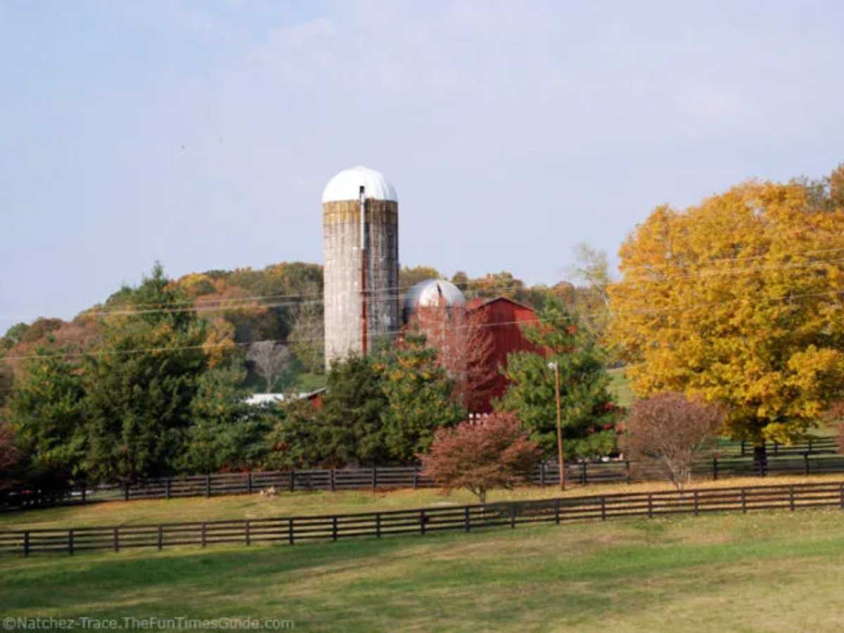
I thought I’d share with you some of the “hidden gems” that can be found along the Trace, most of which are not included on the official map.
The following Natchez Trace Parkway sightseeing locations are numbered in order, as if you’re entering the Trace at Highway 100 (Nashville/Bellevue, TN), then heading north and exiting at Highway 96 (Franklin, TN). This route spans just over 5 miles (one way).
Whenever I’m in the mood for a short leisurely drive, with the option of stopping at a number of roadside pull-offs along the way, this is the route that I travel. (Actually, since I live near Highway 96, I do the following route in reverse order.)
Things To See From Highway 100 To Highway 96
From the entrance ramp which connects Highway 100 to the Natchez Trace Parkway near the Shell Gas Station, here’s what you see as you merge onto the Parkway itself:
It’s about 3/10ths of a mile from the ramp onto the Natchez Trace Parkway at Highway 100 to the first “site” mentioned below.
Site #1 Bridge over Highway 100 at Milemarker 442.4
“Natchez Trace Parkway” is etched in the center of this picturesque bridge. The bridge itself is best viewable from Highway 100 & the Shell Gas Station.
Site #2 Pull-off near the Parkway Entrance sign (on right) at Milemarker 442
You can grab a map here, and view an information board with basic facts about the Natchez Trace Parkway.
Site #3 Large parking lot/rest area (on right) at Milemarker 440
This is where many bicyclists park their cars while they bike on the Trace.
Site #4 Beautiful overlook & 3 separate parking lots (on left) at Milemarker 439.4
This area is open from sunrise to sunset. First, you approach a small parking lot on a hill overlooking the Trace itself. Then, if you continue driving, there are a few parking spaces available for longer-term parking. Finally, at the end of this road, there is a beautiful overlook along with a number of parking spaces. People sometimes picnic here, take pictures, or just enjoy the view.
Site #5 Birdsong Hollow (on right) at Milemarker 438.2
This is one of the most popular stopping places on the Northern end of the Natchez Trace Parkway. From here you can park your car and walk along the bridge (see Site #6) to see some amazing views of Highway 96 below. Or, take a very short walk to the right of the bridge to see some awesome views from underneath the bridge itself. Many people also park & hike from here, as there is a nice walking trail. Some of the best, most up-to-date information about the Natchez Trace Parkway can be found on the information board at this location.
Site #6 Double Arch Bridge at Milemarker 438
This one-of-a-kind bridge rises 155 feet above Highway 96 and the valley that surrounds it. What makes this bridge so unique? It was designed without the use of spandrel columns. Completed in 1994, this bridge received the Presidential Award for Design Excellence.
Just after you cross the bridge, on your left will be the exit ramp for Highway 96 and Historic Franklin, Tennessee.


See more hidden gems from Highway 96 in Franklin to Garrison Creek Rest Area in Leiper’s Fork, heading South.