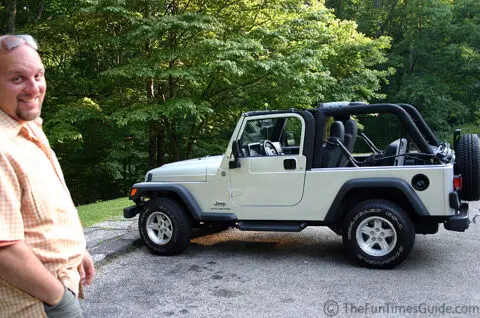
 Got an e-mail from Ray D. today. He writes:
I’m stationed at Ft Campbell, KY and would like to know the best way to tour part of the Trace on a Saturday or Sunday drive. Looking at directions from Nashville and just touring the portions of the Natchez Trace within TN with maybe side stops for lunch and or dinner or just snacks. Thanks for any feedback.
Following are my recommendations for a daytrip along the Tennessee portion of the Natchez Trace Parkway…
Fun Things To See And Do
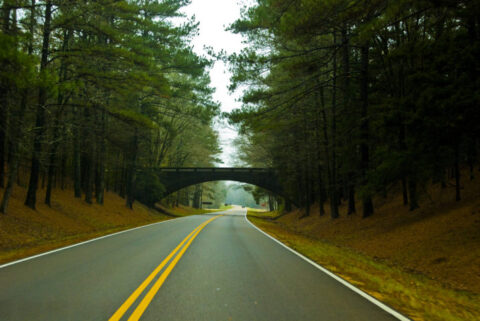
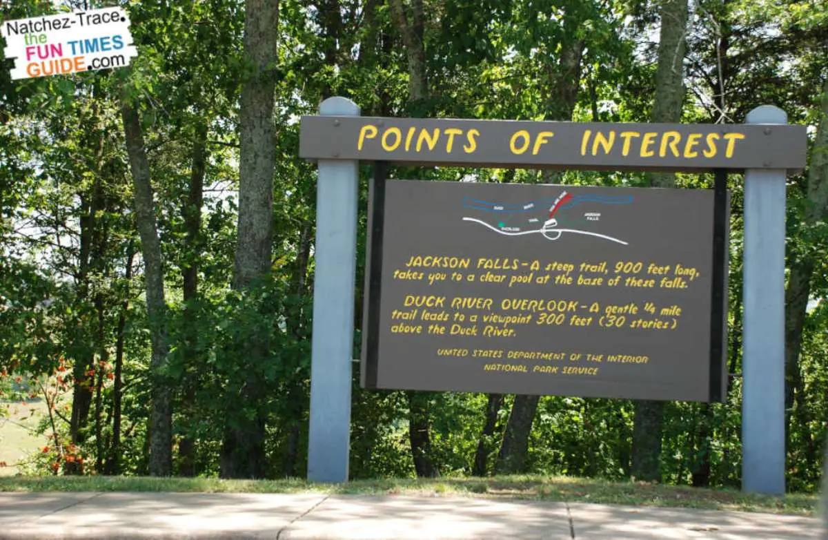
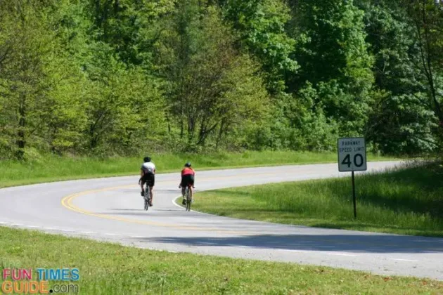
The most “facilities” and activities (where you’ll see the most people) are at the northern most tip — from the point where you get on the Trace at Highway 100 (milepost 444.0) to about the Garrison Creek rest stop milepost 427.6)… or maybe the next stop at 411.8 (Water Valley Overlook) — heading toward Alabama.
Here are some highlights of sights & sounds on that part of the Trace:
- How To Enjoy The Natchez Trace When You’ve Only Got An Hour
- Sights & Sounds On The Natchez Trace In Tennessee
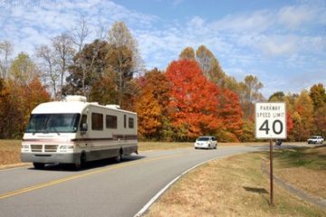
From there… onto milepost 308.9 (the Tennessee/Alabama state line), there are are numerous points of interest and fun sights to see along the way.
- There are a few waterfalls.
- You’ll also see some actual buildings and roadways that people used long long ago.
- And plenty of hiking spots.
Most of the sights have signs explaining what you’re looking at, and what to expect on the road ahead.
TIP: Before you get too far into your drive down the Trace, be sure to stop at the Garrison Creek Rest Area (milemarker 427.6) and grab a map! (They may also be available at other stops, but this is the only place I’ve ALWAYS seen maps available.)
Or, you can print out a map of the Natchez Trace Parkway here. It’s the same map from the brochure, minus the pertinent milemarkers for all of the various points of interest along the way.
Directions To The Natchez Trace Parkway From Nashville
According to MapQuest, here are directions from downtown Nashville at the I40-I65 junction:
1: Start out going WEST on I-40 W. 8.2 miles
2: Take the OLD HICKORY BLVD / TN-251 exit- EXIT 199. 0.2 miles
3: Turn LEFT onto OLD HICKORY BLVD / TN-251. Continue to follow OLD HICKORY BLVD. 3.7 miles
4: Turn RIGHT onto TN-100. 3.9 miles
5: Merge onto NATCHEZ TRACE PKWY. 0.4 miles
6: End at Highway 100 & Natchez Trace Pkwy
Bellevue, TN 37221
Total Est. Time: 21 minutes
Total Est. Distance: 16.65 miles
TIP: My personal advice would be to stay on I-40W until the McCrory Lane exit — rather than get off at Old Hickory (because you have to go through Belle Meade and some slightly confusing forks in the road). From the McCrory Lane exit, you would follow the signs to Natchez Trace Parkway. Basically, it’s a left off the exit, through a stop sign or two, and after many miles it dead-ends at the Shell Station mentioned here.
As For Food & Gas Stations…
I’d pack a lunch. Or fill up at the Shell Station or Lovelace Cafe at the start of your trip.
There would also be a few gas stations, convenience stores, and maybe a restaurant or two if you got off the Trace at Columbia (Hwy 7, milepost 415ish) as well as around Hohenwald (Hwy 412, milepost 395ish). But, you would have to drive a fair bit to find places. There aren’t any food/gas signs at these very basic country road exits, that I can recall.
We’ve lived in the Nashville area since 2001 — and all 3 of our houses have been situated relatively close to the Natchez Trace Parkway. To me, the ‘The Trace’ is a hidden gem of Nashville — a place to go when you want to get away from it all and be one with nature. I’ve hiked it, biked it, motorcycled it, walked it with my dogs, and driven my car on The Natchez Trace Parkway more times than I can count! This is where I share some of my favorite things to do along the Natchez Trace Parkway — which runs 444 miles from Nashville Tennessee to Natchez Mississippi and through parts of Alabama. When I’m not enjoying the beautiful outdoors along the Natchez Trace Parkway, you’ll find me at the corner of Good News & Fun Times as publisher of The Fun Times Guide (32 fun & helpful websites).